Scotney's barn in Ypsilanti, Michigan after a tornado. A large portion of the metal sheeting on the gambrel roof barn has been torn off after the storm and other building debris is scattered in the grass around the barn. A silo and a second, smaller barn can be seen in the background, but the second barn is badly damaged and falling down.
Scotney's barn in Ypsilanti, Michigan after a tornado. A gambrel roof barn can be seen behind a smaller wooden barn that has been partially blown over from the storm. Several other buildings can be seen in the background and the roof of one of the outbuildings has been blown off.
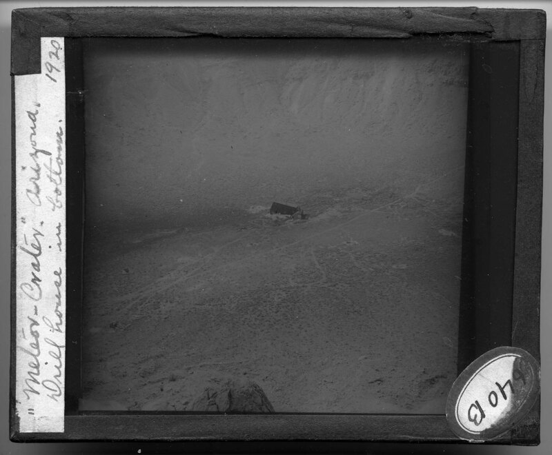
A distant view of the Meteor Crater in Arizona. The landscape is arid and rocky. Few desert plants can be seen in the foreground and the crater rim can be seen in the background.
The Meteor Crater in Arizona. Located near Flagstaff, the crater is almost a mile wide and approximately 500 feet deep. Walking paths cross the bottom of the crater surrounding a small structure in the center. The landscape is rocky and barren.
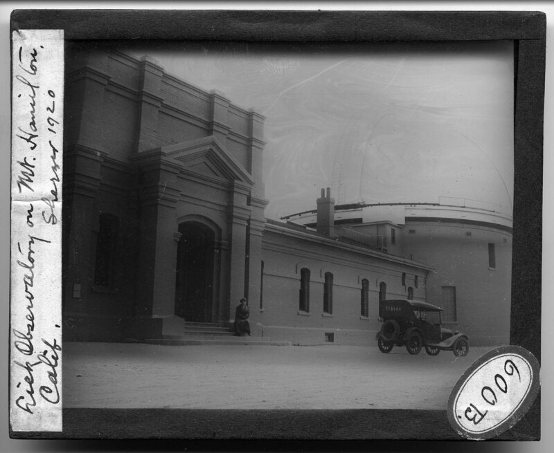
The Lick Observatory at Mount Hamilton in California in 1920. The brick observatory was constructed in a vernacular Greek Revival style with a large pediment over the recessed doorway. A woman sits on the steps leading to the entrance and a car sits in the gravel courtyard created by the observatory walls. The main circular observatory dome can be seen to the right.
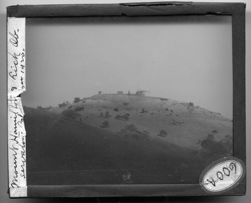
The Lick Observatory on top of Mount Hamilton in California. The landscape is hilly and rocky with little vegetation. The domes of the observatory can be seen on top of the hill.
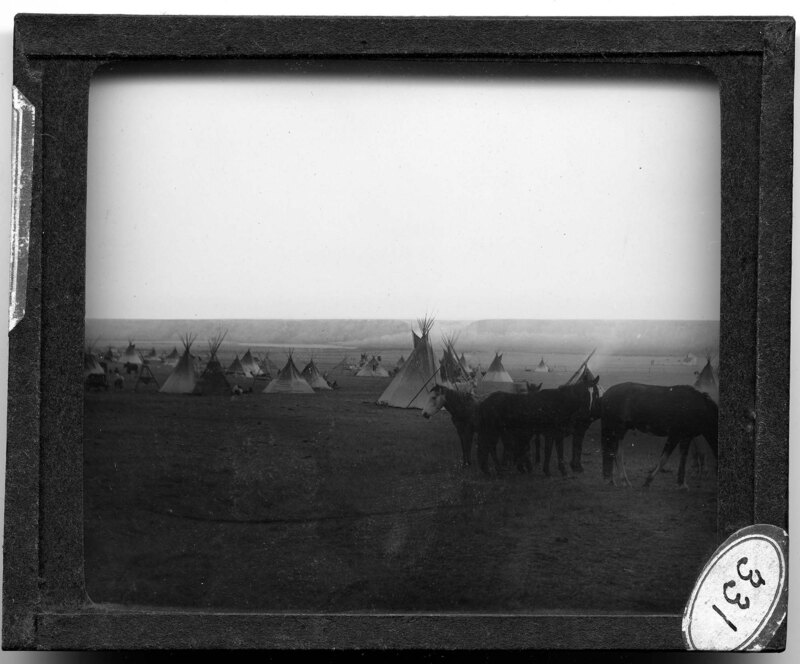
Native American settlement on the Blackfoot Reserve in Montana. Horses stand in a group in the foreground and canvas teepee's spread out across the plains in the background. People can be seen cooking and working next to the teepee's. Hills can be seen in the background.
A black bear and her cub in Yellowstone National Park in Wyoming. It is noted the picture was taken in Canyon Camp in 1915. The bears are seen walking across the rocky ground and they are relatively camouflaged by the trees in the background. Dead timber litters the ground of the camp.
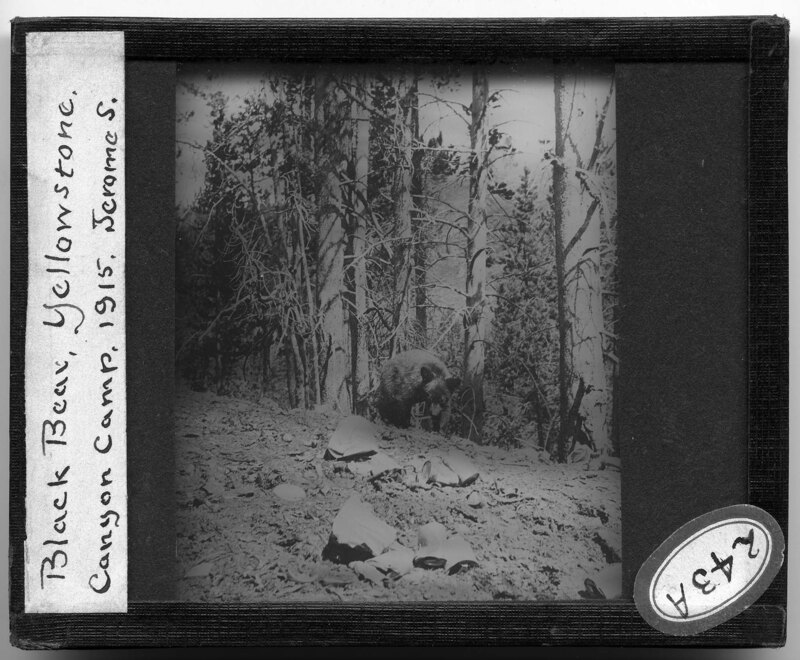
A black bear in Yellowstone National Park in Wyoming. It is noted the picture was taken in Canyon Camp in 1915. The bear is walking across the rocky ground and is camouflaged by trees in the background.
A black bear in Yellowstone National Park in Wyoming. It is noted the picture was taken in Canyon Camp in 1915. The bear is walking across the rocky ground and is camouflaged by trees in the background.
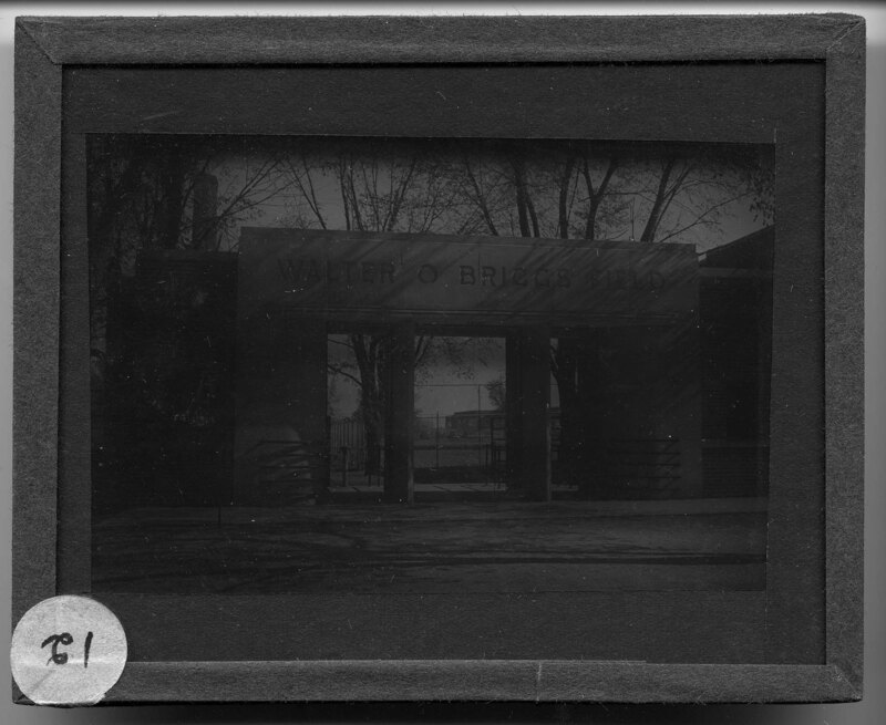
The main gate entrance to Walter O. Briggs field on the Eastern Michigan University campus in Ypsilanti, Michigan. Constructed in 1937 and named for Walter O. Briggs, benefactor and owner of the Detroit Tigers, the athletic field featured a baseball diamond, a football field, and grandstands. The field was razed in 1972 to make way for an expanded parking area on campus.
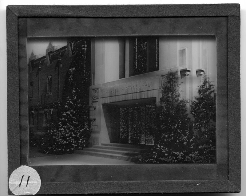
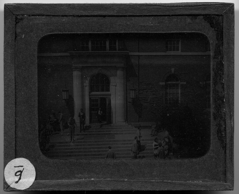
Entrance to the McKenny Union on the Eastern Michigan University campus in Ypsilanti, Michigan. Constructed in 1930, the union was built in the Art Deco Style with Collegiate Gothic influences. It was the used as social center on campus with restaurants, a bowling alley, and a ballroom. It was decommissioned as the union in 2007 when the new Student Building was constructed on campus. The building is now used as an event space, a place for students to relax, and it houses the career services office.
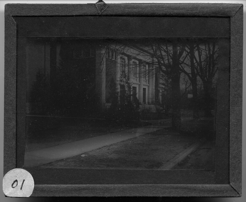
Pease Auditorium on the Eastern Michigan University campus in Ypsilanti, Michigan. Constructed in 1914, the auditorium was named after professor Frederic Pease, who taught in the music department from 1858-1909. The building was constructed in response to rapidly increasing enrollment rates and was built in a Georgian Revival style.
The Home Economics Practice House 415 Perrin Street in Ypsilanti, Michigan. Built in the 1890's, the house was originally used an infirmary for students at the university but it was later converted to be a practice house for home economics students. The house was demolished in 1973. Built in a vernacular Queen Anne style, the house was two stories and had several forces that wrapped around the facades of the building. Two cars are parked on the street in front of the house.
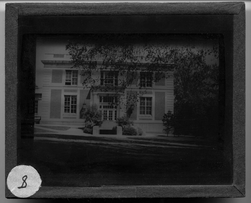
The west end of the Administration Building on the Eastern Michigan University campus in Ypsilanti, Michigan. Built in 1914, the Administration Building was constructed in the renaissance revival style and housed the main administration offices for the university until 1950 when it was renamed the Arts Building. It was later renamed Boone Hall in 1968 to honor the 9th president of the university, Richard Gause Boone. Today, Boone Hall houses Continuing Education, the Graduate School, World College and Academic Programs Abroad.
Roosevelt Hall on the Eastern Michigan University campus in Ypsilanti, Michigan. Constructed in 1925, the building was built in the colonial revival style with neoclassical design elements and originally housed the laboratory school and was used as a classrooms, laboratories, and an all encompassing building for student life. Today, the building houses the Military Science department and the department of human, environmental, and consumer sciences.
Front of the original library on Eastern Michigan's Campus in Ypsilanti, Michigan. The main entrance is recessed and framed by to large doric columns that support an entablature and a second story balcony. The windows on the first floor are arched, matching the main entrance. A series of steps lead up to the main entrance and students walk in front of the library.
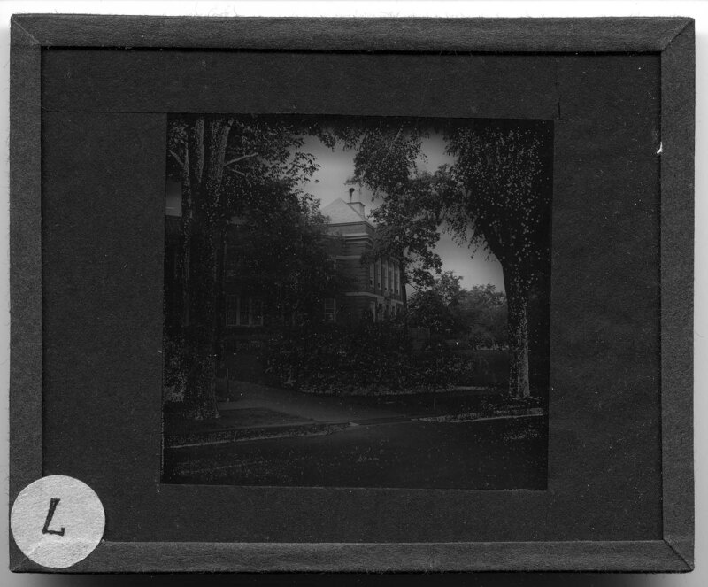
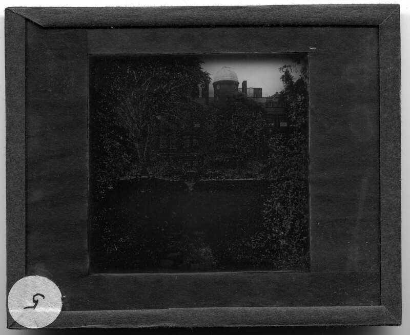
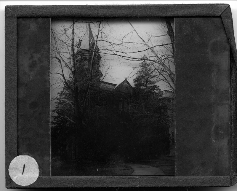
The back of Sherzer Hall on the Eastern Michigan University campus in Ypsilanti, Michigan. Constructed in 1903, the building was built in a Richardsonian Romanesque style with Georgian influences. Originally used as the natural sciences building, Sherzer Hall now houses the art department and still allows use of the rooftop observatory that was an original feature of the building. The picture was taken looking at the back of Sherzer Hall, showing the rooftop refractor telescope installed in 1922 and a small garden with a fountain.
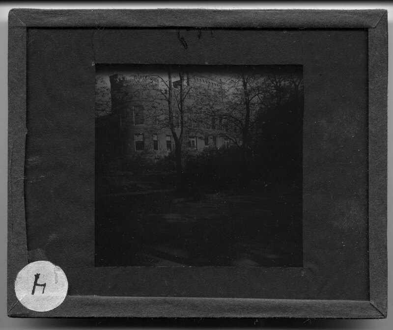
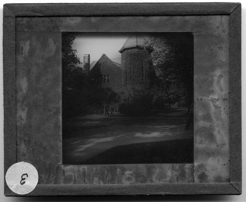
Starkweather Hall on the Eastern Michigan University campus in Ypsilanti, Michigan. Constructed in 1896 with a Richardsonian Romanesque style, Starkweather Hall was originally the building that housed the Student Christian Association, and then it housed the honors college until 2015. Named after Mary Ann Starkweather for her offer to fun the construction of the building, Starkweather Hall was listed on the National Register of Historic Places in 1977. Two men stand outside of the building, which is covered in ivy and is notable for its octagonal tower on the corner of the building.
Starkweather Hall on the Eastern Michigan University campus in Ypsilanti, Michigan. Constructed in 1896 with a Richardsonian Romanesque style, Starkweather Hall was originally the building that housed the Student Christian Association, and then it housed the honors college until 2015. Named after Mary Ann Starkweather for her offer to fund the construction of the building, Starkweather Hall was listed on the National Register of Historic Places in 1977. Two men stand outside of the building, which is covered in ivy and is notable for its octagonal tower on the corner of the building.
Welch Hall on the Eastern Michigan University campus in Ypsilanti, Michigan. Built in 1895, Welch Hall was the first building on campus designated for classroom training. The building had rooms for K-8th grades, where Michigan State Normal College students could practice being teachers for young students. Andrew Nazarro, professor of historic preservation, led the effort to save the historic building in the 1980's when it was deemed the building upkeep was too costly and it was to be torn down. The building now houses university executive offices. Welch Hall was constructed in the Georgian Revival style and has a projecting portico over the main entrance that is supported by ionic columns.
Old Pierce hall on the Eastern Michigan University campus in Ypsilanti, Michigan. Known as the Old Main building, it was originally used for administrative functions. The building was a three story Adamesque style with Queen Anne details on the addition. It was demolished in 1948.
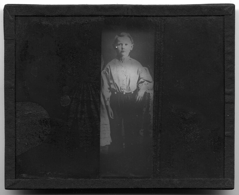
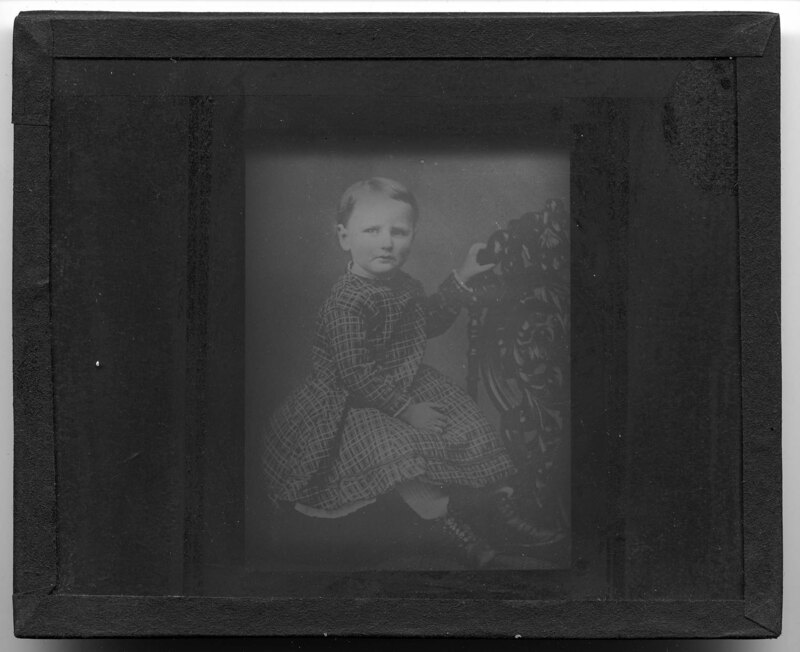
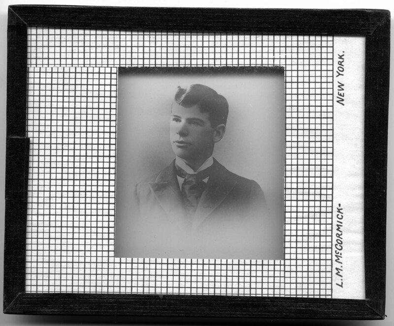
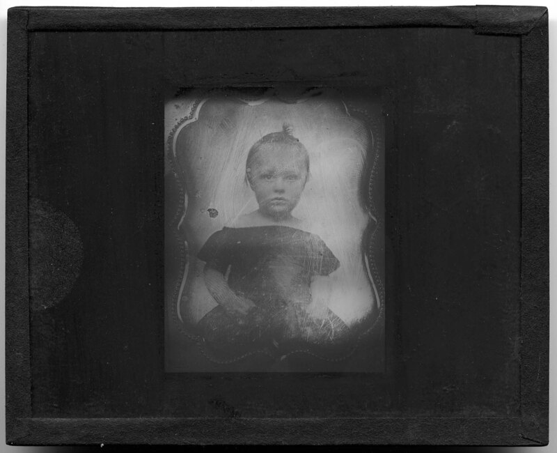
Portrait of a boy name Lyman, E.A. A girl stands next to him but she has been cut out of the picture. He is wearing checkered pants and a button down cotton shirt.
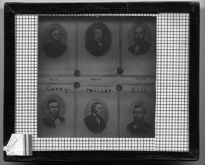
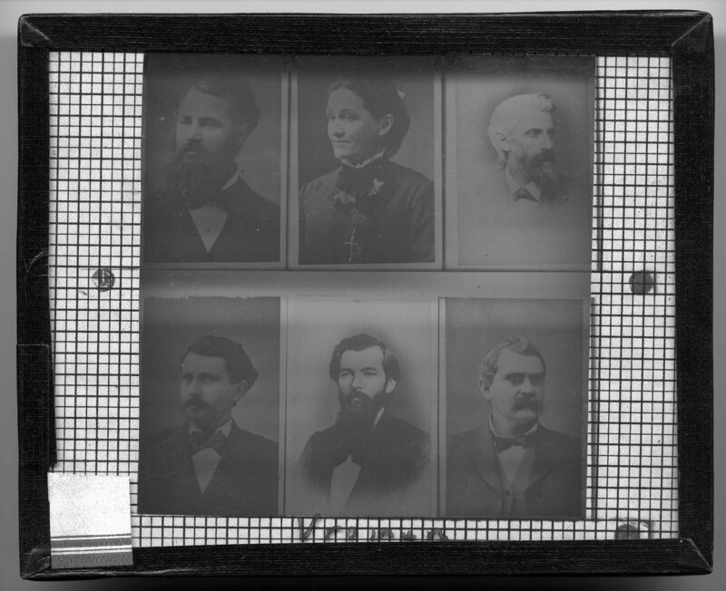
Portraits of 6 Michigan State Normal College professors: Welch, Mayhew, Ripley, Carey, Miller, and Sill. All of the men are dressed in overcoats, dress shirts, and ties.
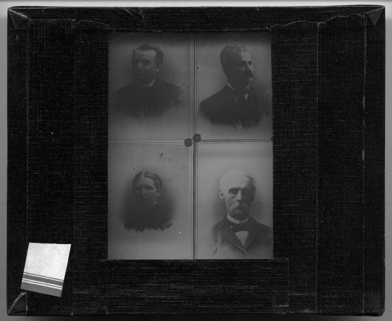
Portraits of 4 Michigan State Normal College professors. It is noted that the group includes Frederic Pease and John M.B. Sill. 3 of the portraits are of men and there is 1 woman. Frederic Pease was the head of the music department and director of conservatory of music in the early 1900's and John M.B. Sill was the principal of the college in the late 1800's.
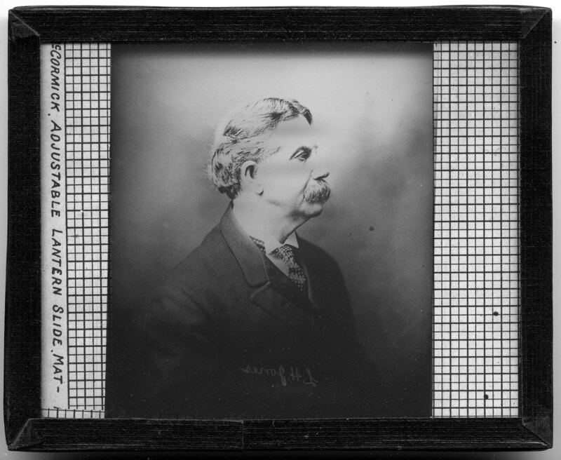
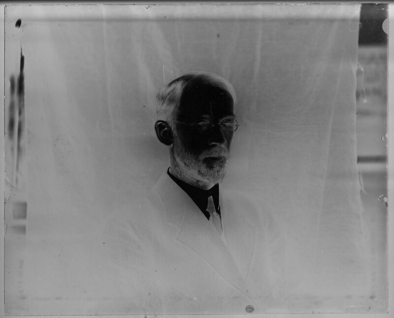
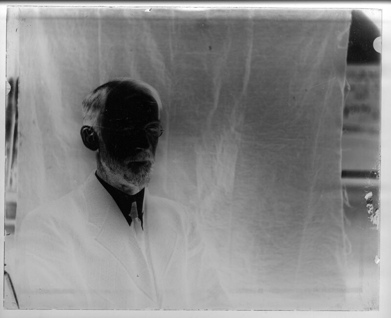
Portrait of William Sherzer, professor in and head of the natural sciences department in the early 1900's at Michigan State Normal College, now Eastern Michigan University. He is wearing a large overcoat, a vest, dress shirt, and a tie.
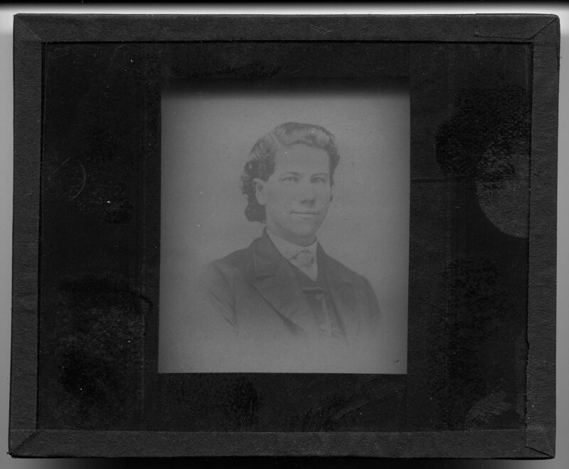
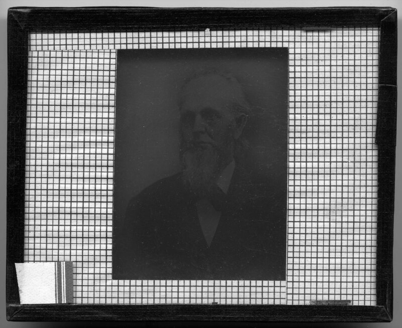
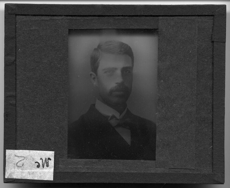
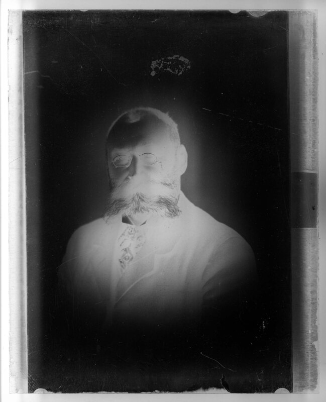
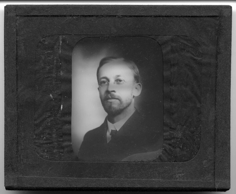
Portrait of a man who is likely a professor at Michigan State Normal College, now Eastern Michigan University. He is wearing a wool overcoat, a dress shirt, and a tie.
Photostat of a series of portraits, likely of Michigan State Normal College professors. There are 5 men and 1 woman in the collection. The men are dressed in overcoats, dress shirts, and ties. The woman is wearing a high collared dress and a crucifix.
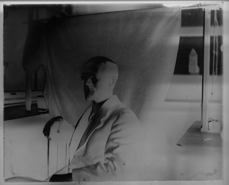
Portrait of Mark Jefferson sitting at a wooden desk, in front of a cloth backdrop. He is wearing a woolen overcoat, a dress shirt, and tie. Jefferson was the head of the geography department at Michigan State Normal College, now Eastern Michigan University, from 1901-1939. He traveled around the world photographing significant landscapes related to the courses he taught in the geography department at MSNC.
Portrait of Mark Jefferson, head of the geography department at Michigan State Normal College, now Eastern Michigan University, from 1901-1939. Jefferson traveled around the world photographing significant landscapes related to the courses he taught in the geography department at MSNC.
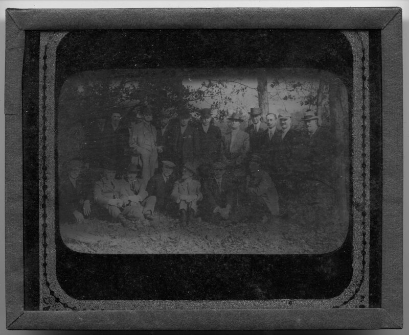
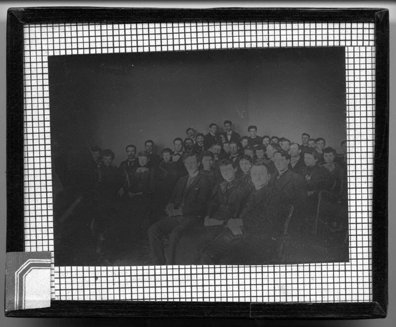
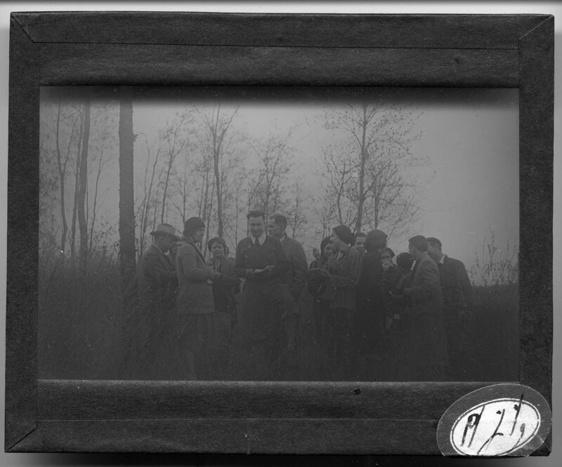
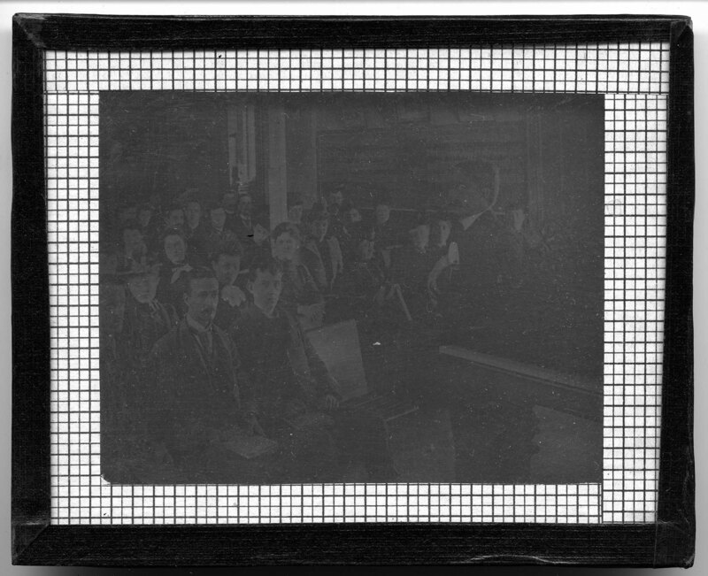
A group of men, presumably Michigan State Normal College professors. The college is located in Ypsilanti, Michigan and has been renamed Eastern Michigan University. The men are wearing suit pants, overcoats, and a variety of hats. They are surrounded by a wooded area. Slide labeled with text, "Made by G.R. Swain, 713 E. University Ave., Ann Arbor, Michigan." Swain was staff photographer at U of M from 1913 to 1947.
A woman in a blue dress stands in the middle of an urban garden in Ypsilanti, Michigan. Several different types of plants are growing in the garden and bushes climb the wooden wall behind the woman. Multi-story buildings can be seen in the background.
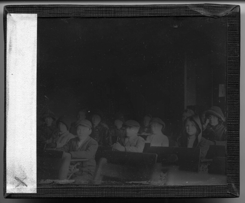
Students in a classroom, presumably at Michigan State Normal College, now Eastern Michigan University. The students sit in long, wooden bench style desks while their professor sits at the front of the classroom in the foreground. Gas lights hang from the ceiling and the room is mostly unadorned. A wall length black board can be seen to the right.
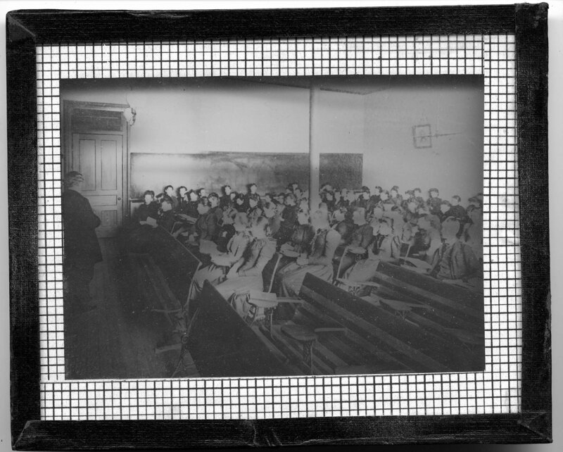
Students listening to their professor in a classroom, presumably at Michigan State Normal College, now Eastern Michigan University. The students sit in long, wooden bench style desks while their professor talks to them at the front of the room. The room is unadorned and has a wall length black board in the background.
Students gathered around a piano, presumably at Michigan State Normal College, now Eastern Michigan University. The men and women are formally dressed and sitting in wooden carved chairs that sit around the piano.
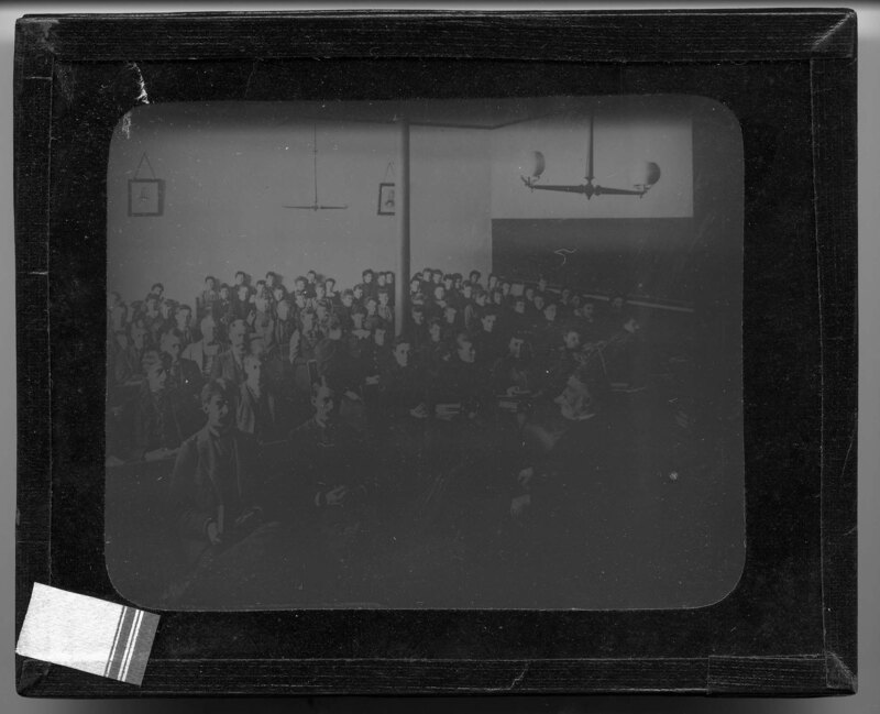
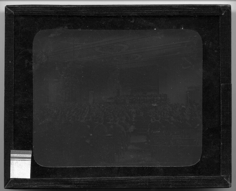
Students sitting in the audience in Normal Hall in the Old Main building on the Michigan State Normal College campus, now Eastern Michigan University. All the seats are filled in the auditorium and the students look onto the main stage, where chairs can be seen in the foreground. Wooden carved brackets decorate the ceiling of the auditorium, which has been stenciled and inlaid with decorative elements. A large chandelier hangs from the center of the ceiling.
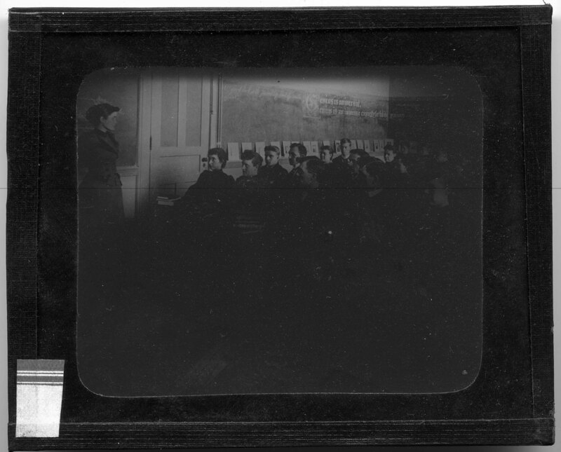
Students in a classroom, presumably at Michigan State Normal College, now Eastern Michigan University. It appears to be a classical studies class that the students are attending based on the pictures of classical composers and the cursive phrases on the chalkboard behind the professors, who stands behind her desk at the front of the classroom. The male students sit in long wooden benches.
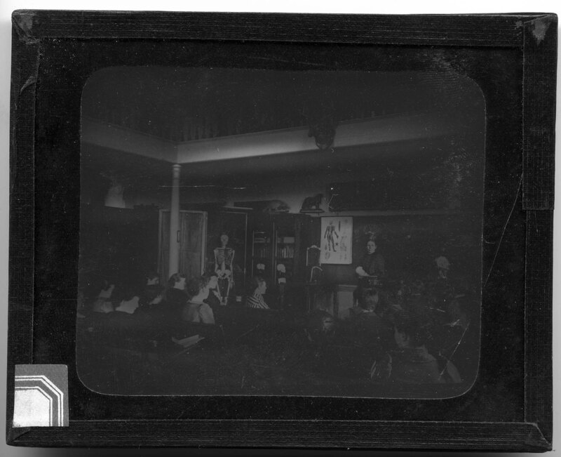
Teenage students in a classroom. The students sit in wooden bench desks while their professor stands behind her desk at the front of the room. It appears to be a biology class that the students are attending based on the drawings of the human brain on the black board, the model skeleton in front of the book cabinets, and the different model animals around the room. A deer head hangs from the upper floor balcony.
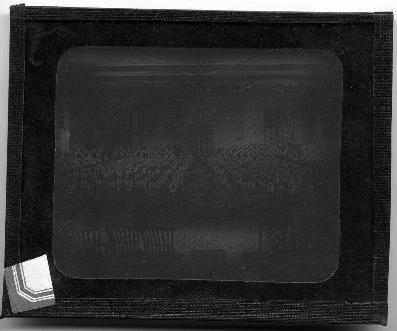
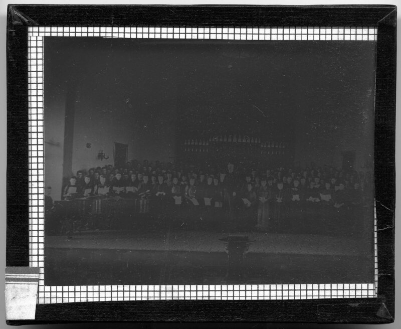
Attendees at a choir concert in Normal Hall, which used to be Old Main, on the Michigan State Normal College campus, now Eastern Michigan University. The choir stands in front of a large pipe organ on the back wall of the auditorium and the concert attendees are sitting in long, wooden pews surrounding the main stage. The ceiling is stencil painted and large chandeliers hang from recessed portions of the ceiling.
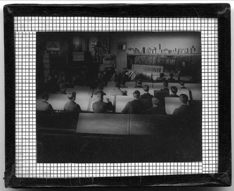
Students in an art class, presumably at Michigan State Normal College, now Eastern Michigan University. The students are sitting behind large drafting tables that have white canvas' on them. The professor stands at the front of the classroom by the blackboard, which has different geometric designs on it.
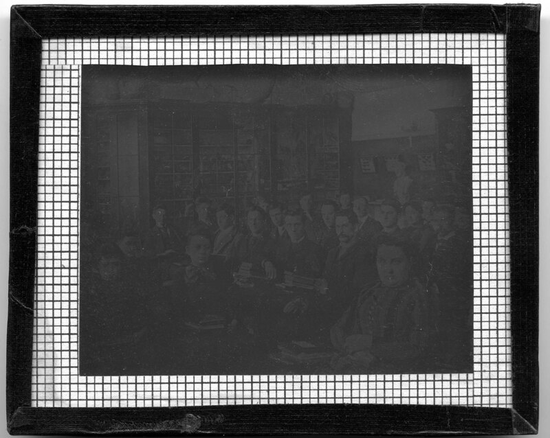
Students in a classroom, presumably at Michigan State Normal College, now Eastern Michigan University. The class is made up of men and women, who are sitting in wooden desks that fill the large classroom. The professor sits at his desk at the front of the classroom to the left and it is most likely a biology class based on the skeletons and fossils on top of glass curio cabinets in the background.
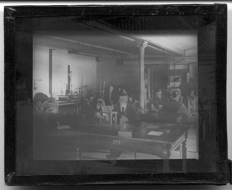
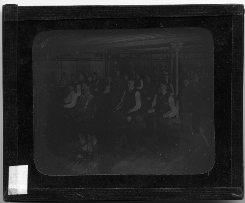
Male students studying in a laboratory, presumably at Michigan State Normal College, now Eastern Michigan University. The students are working with various types of lab equipment that sits on long wooden tables throughout the room.
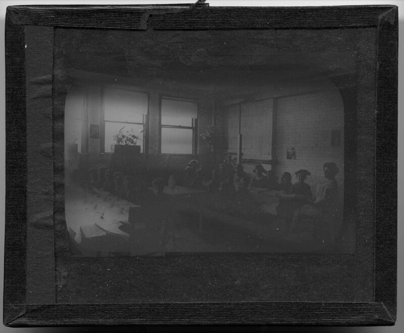
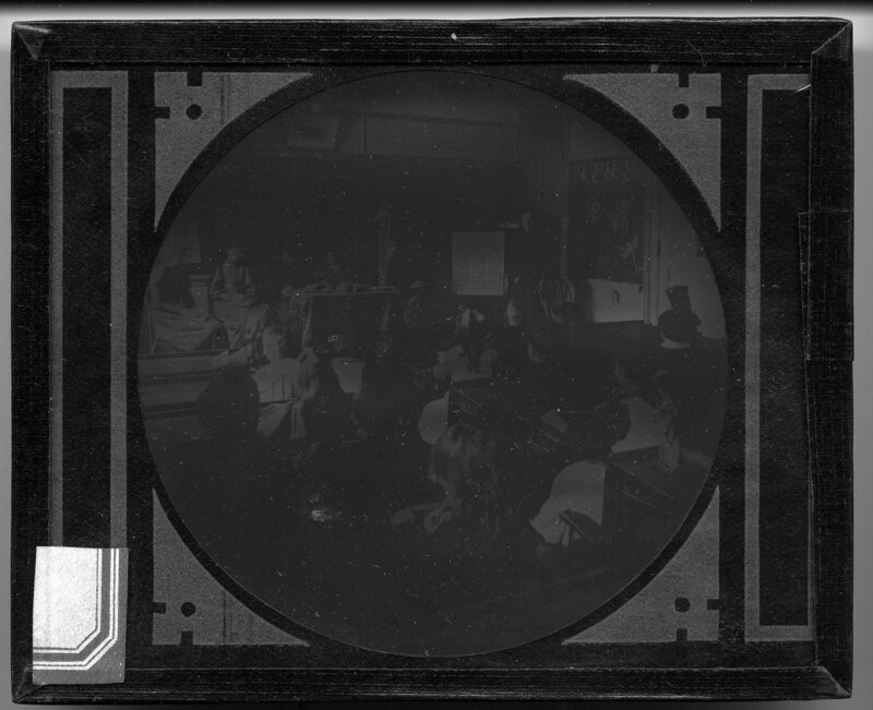
Children sitting at two long tables waiting for their meal. A woman sits at the end of the table to the right in a wooden desk while the children smile at the camera. The tables have tea cups and fancy table settings on them and the room appears to be some sort of classroom. Plants cover the back wall.
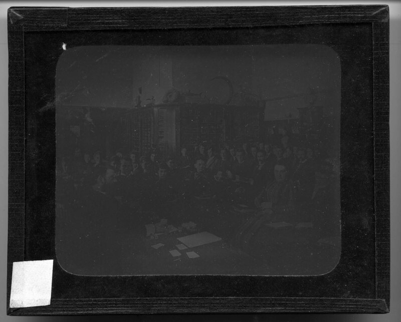
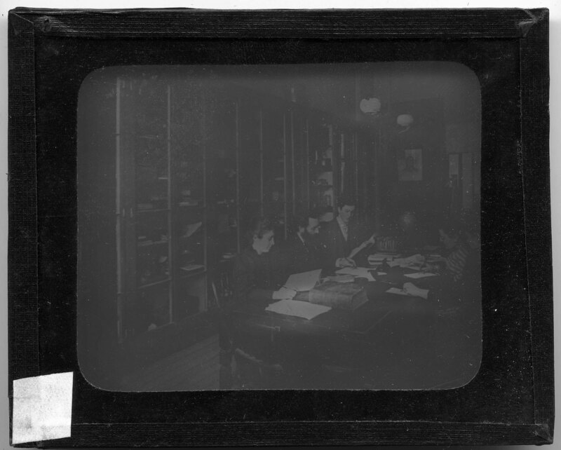
Students studying at a long wooden table, surrounded by glass door curio cases, presumably at Michigan State Normal College, now Eastern Michigan University. Books and paper are scattered on the table and two women are writing notes from their books. A large gas lamp hangs from the ceiling.
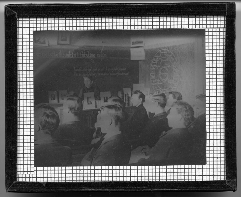
A professor's stands at the front of a classroom, instructing students, presumably at Michigan State Normal College, now Eastern Michigan University. Books cover the professor's desk and are housed in a large curio cabinet to the left. Classical studies posters hang from the ceiling and surrounding the doorway. Cursive writing covers the blackboards in the background. The men and women of the class sit in wooden desks.
A picture taken from the back of a classroom at the Michigan State Normal College, now Eastern Michigan University. Men and women sit in the wooden benches throughout the room and their professor, likely William H. Sherzer, stands at the front of the classroom. Cursive writing can be seen on the blackboard to the left.
Children sitting in their desks while their teacher talks to them at the front of the room. A numbers additions board stands next to her and insects have been drawn on the board to the right. A group of women sit at the front of the room examining a skeletal arm that hangs from a wooden frame. It is noted the picture was taken in the laboratory school.
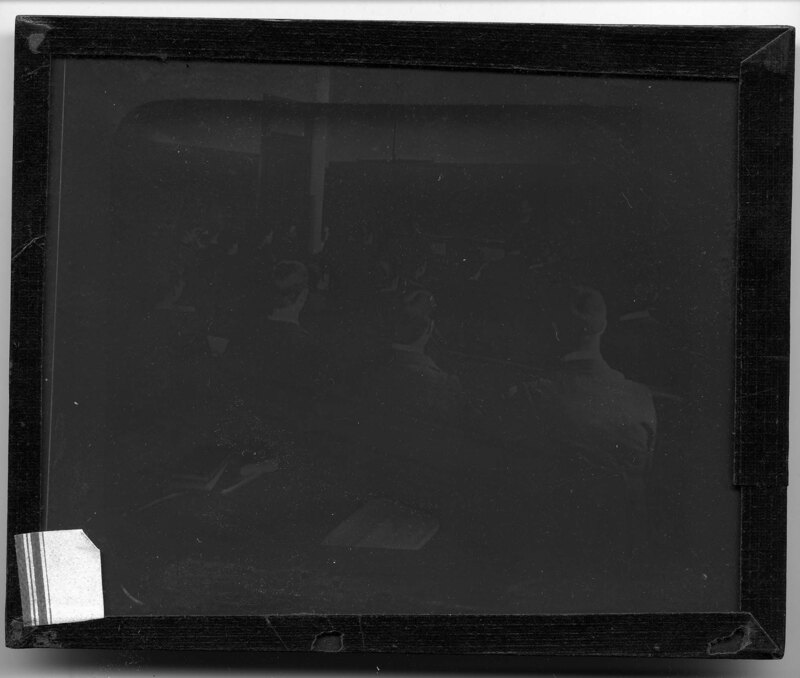
Male students in gymnasium class, presumably at Michigan State Normal College, now Eastern Michigan University. The professor is standing in front of the class facing them, at the front of the room while all of the men stand at attention in rows throughout the room. The room has a low ceiling with metal beams supported by false ionic columns. Men sit on platforms towards the back of the class waiting for their turn.
Professor Frederic Pease on stage with the Michigan State Normal College school choir. The students are all wearing long dresses or dress clothes and are holding sheet music. The pianist can be seen to the left and a large pipe organ stands on the back wall of the auditorium. Pease Auditorium on Eastern Michigan University's campus was dedicated to Professor Pease on 1915 to honor his commitment towards the advancement of musical studies at the university.
Students sitting in the desks in a biology classroom, presumably at Michigan State Normal College, now Eastern Michigan University. Fossils and skeletons are sitting on top of the glass door cabinets in the background, and displays of butterflies cover the walls. The class is a mix of men and women.
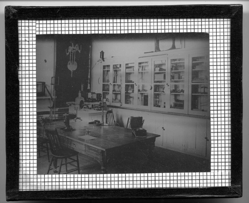
An instructor's desk in a laboratory, presumably at the Michigan State Normal College, now Eastern Michigan University. Large display cases cover the walls in the background and have glass panes in the doors so the laboratory supplies can be seen. Several chairs surround the large wooden desk and a number of laboratory apparatuses cover the desk. An oil lamp hangs from the ceiling.
A woman teaches a classroom full of students, presumably at the Michigan State Normal College, now Eastern Michigan University. The class is a mix of men and women who are sitting at wooden desks throughout the classroom. Large cursive words have been drawn on the blackboards in the background.
A group of students leading outdoors. It appears to be spring because the leaves on the trees are very small and all of the students are wearing jackets and sweaters. They are taking notes and collaborating with each other.
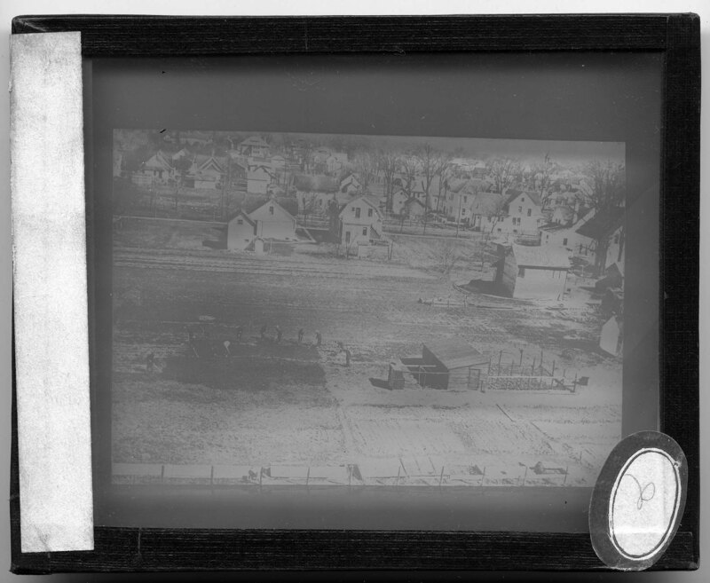
A group of people gardening in a plot of land in an urban area. The plot that is being tilled is approximately 1/2 of a city block and a small shed has been built next to the plot. Houses spread out in the background.
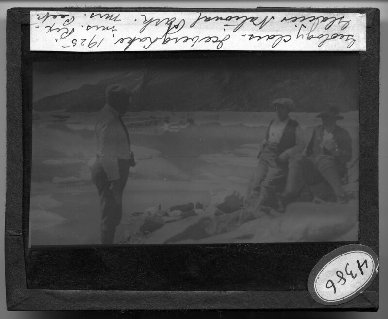
Two geology students listen to their professor while sitting on boulders in Glacier National Park in Montana. The group is sitting next to Iceberg Lake, which has its signature floating icebergs in the background. The large cliffs surrounding the lake can also be seen in the background. It is noted the picture was taken in 1925.
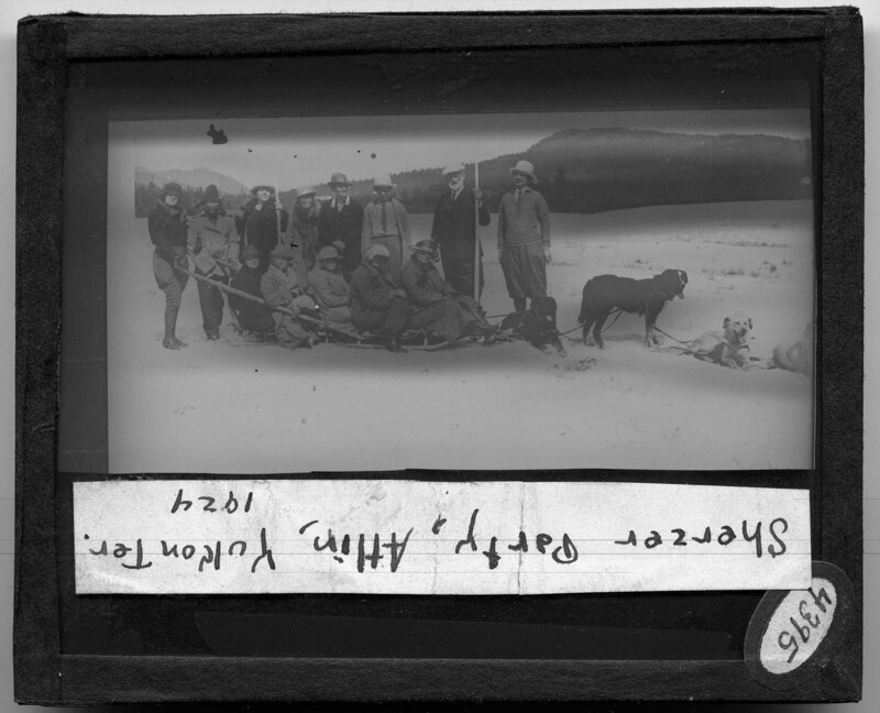
The Sherzer Party in the Yukon Territory of Canada. The group is made up of 12 men and women and a guide, William H. Sherzer is pictured second from right with white beard. They are sitting on a long wooden sled pulled by dogs and mountains can be seen in the background. Snow covers the landscape and all of the people are dressed in winter coats and hats.
Children sitting in their desks with their winter coats and hats on. The classroom appears to be a one room schoolhouse with rooms on the back of the building. All of the children appear to be the same age and not all of the desks are full.
Students sitting in music class, presumably at the Michigan State Normal College, now Eastern Michigan University. The professor leans on the piano at the front of the room and music staff's have been drawn on the blackboard in the background. The students are both female and male, and all are dressed in period clothing.
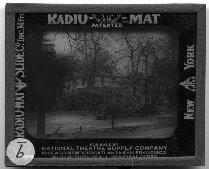
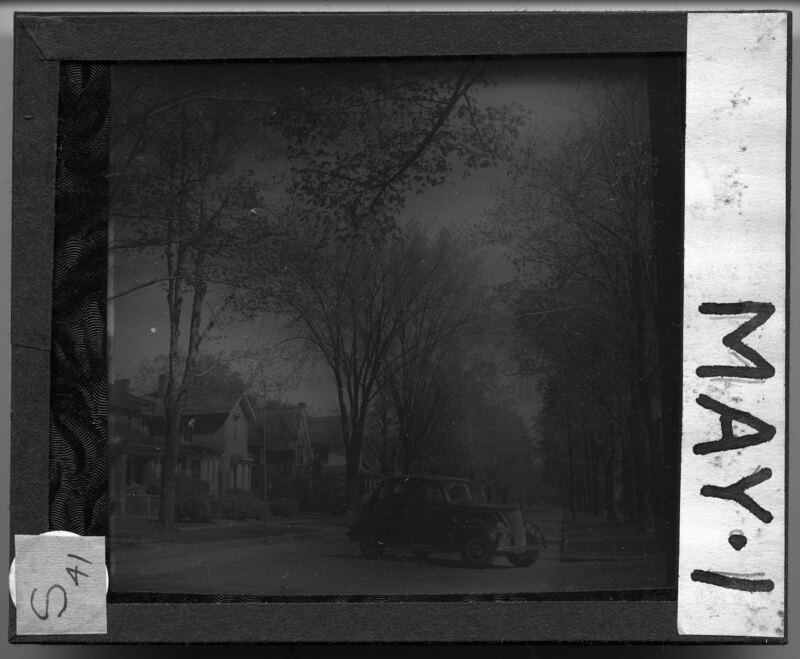
Streetscape of Normal Street in Ypsilanti, Michigan on May 1st. The trees have leafed-outed and are beginning to conceal some of the houses behind them. A car pulls into a driveway in the foreground. Slide labeled with text, "Made by G.R. Swain, 713 E. University Ave., Ann Arbor, Michigan." Swain was staff photographer at U of M from 1913 to 1947.
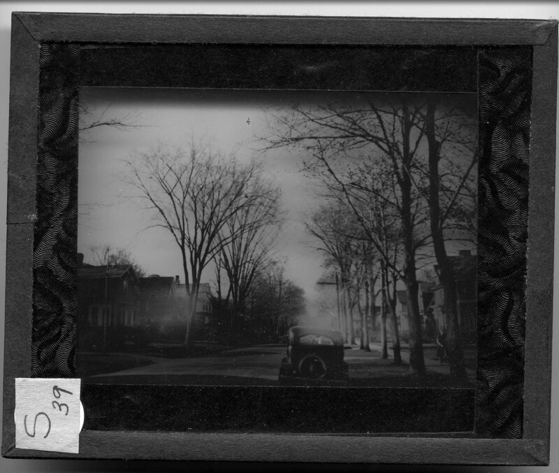
Streetscape of Normal Street in Ypsilanti, Michigan on April 30th. The trees are starting to get their leaves and new grass is growing in the yards of the houses. Cars are parked on the street in the background. Slide labeled with text, "Made by G.R. Swain, 713 E. University Ave., Ann Arbor, Michigan." Swain was staff photographer at U of M from 1913 to 1947.
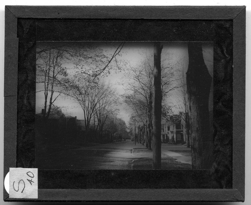
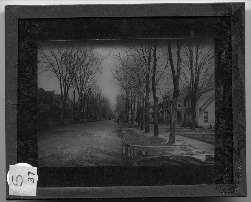
Streetscape of Normal Street in Ypsilanti, Michigan on April 22nd. The trees are starting to get their leaves and new grass is growing in the yards of the houses. Cars are parked on the street and a woman walks on the sidewalk to the right. Slide labeled with text, "Made by G.R. Swain, 713 E. University Ave., Ann Arbor, Michigan." Swain was staff photographer at U of M from 1913 to 1947.
Streetscape of Normal Street in Ypsilanti, Michigan on April 22nd. The trees are starting to get their leaves and new grass is growing in the yards of the houses. Cars are parked on the street and a woman walks on the sidewalk to the right. Slide labeled with text, "Made by G.R. Swain, 713 E. University Ave., Ann Arbor, Michigan." Swain was staff photographer at U of M from 1913 to 1947.
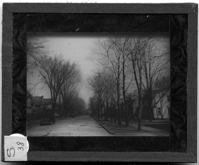
Streetscape of Normal Street in Ypsilanti, Michigan on April 9th. The trees are starting to get their leaves but some snow can still be seen on the sidewalks. Cars are parked on the street and most of the houses appear to be bungalows. Slide labeled with text, "Made by G.R. Swain, 713 E. University Ave., Ann Arbor, Michigan." Swain was staff photographer at U of M from 1913 to 1947.