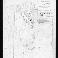
Utah. The Oasis of Utah map
Item
-
Title
-
Utah. The Oasis of Utah map
-
Photographer
-
Unknown
-
Description
-
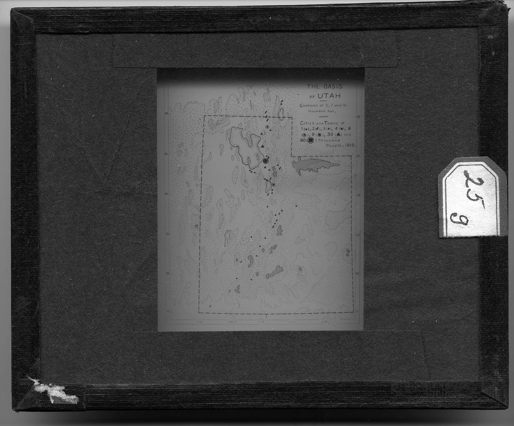
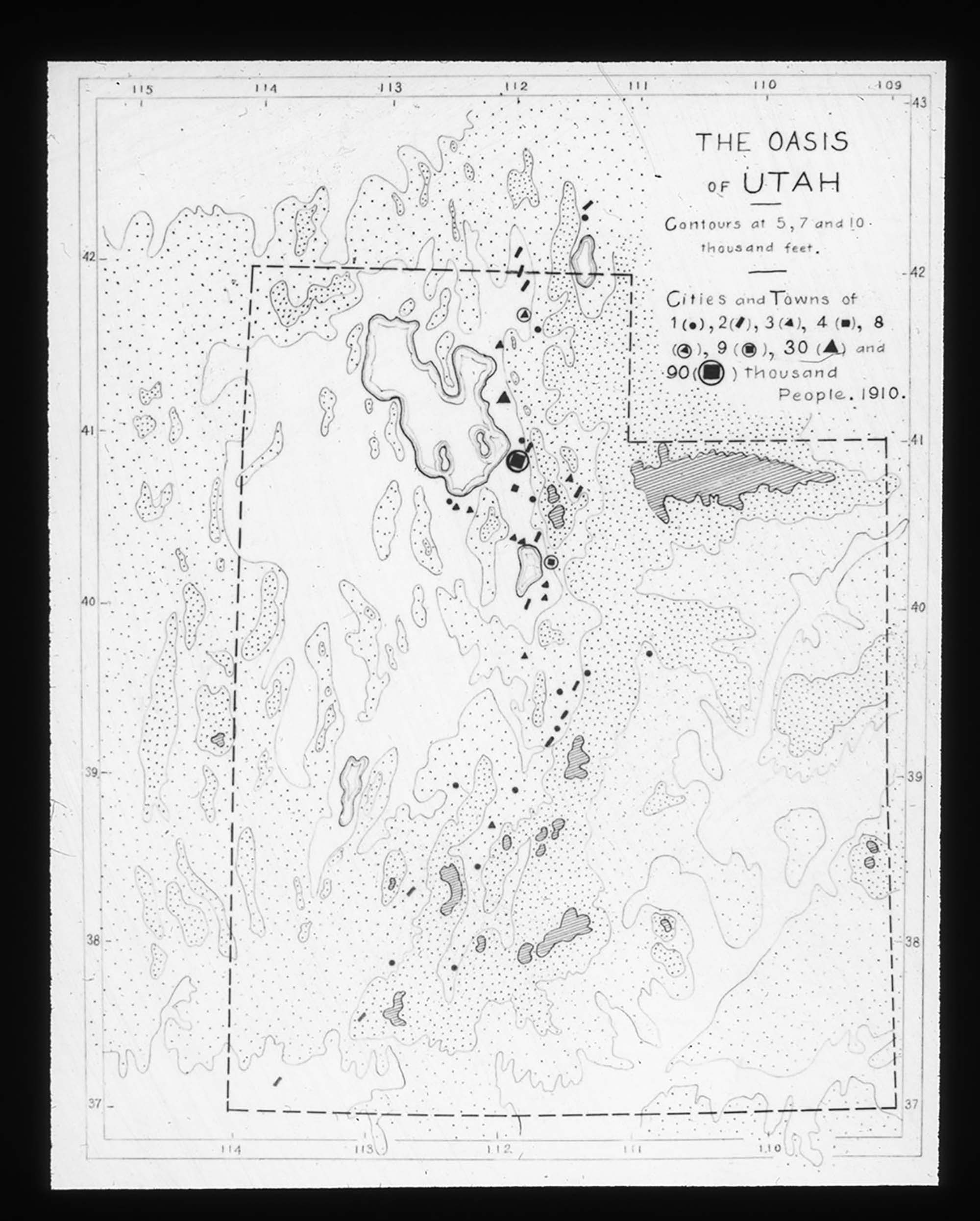
Map depicting the various landscape features of Utah. Shapes are used to show populations in cities across the state with data from 1910. Different drawing styles are used to show the rough topography of the states and the slide is labeled "The Oasis of Utah."
-
Date Span
-
1900-1935
-
Object Type
-
Black and White Positive Lantern Slide
-
Subject
-
Cartography; Population; Topography; Utah
-
Collection Location
-
Box 93
-
Location
-
Utah, United States
-
Exact Date
-
Exact Date Unknown
-
High Resolution Available
-
TIF
-
Cataloger
-
Rachel Ellenson
-
Date Digital File Created
-
9/20/2016
-
Digital File ID
-
010_MJ_93_064
-
Type
-
MJ
-
Rights
-
The copyright and related rights status of this Item has been reviewed by the organization that has made the Item available, but the organization was unable to make a conclusive determination as to the copyright status of the Item. Please refer to Eastern Michigan University Archives (lib_archives@emich.edu). for more information. You are free to use this Item in any way that is permitted by the copyright and related rights legislation that applies to your use.