Mark Jefferson Photograph Collection
Explore Photographs Taken by the Former EMU Chair of Geography Between 1900 and 1935.
-
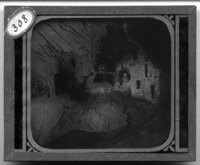
Arizona Cliff Dwellers. Ruin of cave
Ruins of a cliff dwelling in Arizona. The remains of the houses sit underneath a large rock ledge that protects the house from the elements. A steep drop-off can be seen below the house in the foreground and a large opening can be seen above the drop-off, presumably where a wall from the house used to be. -
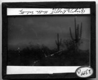
Arizona desert. 1926
Landscape of a desert in Arizona. Two large Saguaro cacti and several large bushes dominate over the other vegetation in the area. Mountains rise in the background. -
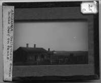
Arizona. Bellemont Station. Jerked beef on fence
Bellemont Station in Bellemont, Arizona. The station is a vernacular building with two front entrances and three windows. Two additions can be seen on the side of the buildings and rock lined walkways lead to the main entrance. The landscape is flat with sparse vegetation. A small farm and house can be seen in the background. Power Lines cross over the top of the building. -
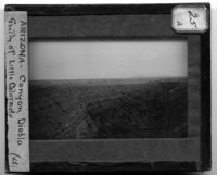
Arizona. Canyon Diablo. Gully of Little Colorado
Canyon Diablo in Arizona. The canyon has been carved by the Little Colorado river at the bottom of the valley and the rocky landscape appears to have been cut into shelves. The landscape is flat until the canyon starts and mountains can be seen in the background. -
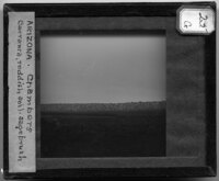
Arizona. Chambers. Barranca; reddish soil, sagebrush
Landscape image of a barranca near Chambers, Arizona. A barrnaca is a narrow, winding river gorge, and it is noted this one cuts through a red soil and sagebrush landscape. The river can be seen in the middle of the picture, with a small farm in the foreground and a ridgeline in the background. The landscape appears to be arid based on the vegetation that covers the ground. -
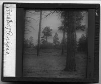
Arizona. Forests
Old growth trees in a forest in Arizona. Possibly Sugar Pines, the evergreens dominate the landscape which is covered with short grass and scrub bushes. The land is flat and appears to be arid. -
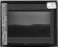
Arizona. Grants. Lava flow in valley. Mesa behind
Rocky landscape in Arizona. It is noted there is a lava flow that can be seen in the valley with the mesa behind it. This area appears to be arid based on the sparse vegetation found on the hills and the plateau in the background. Power lines cross over the landscape next to the roadway. -
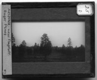
Arizona. Near Flagstaff. Sugar Pines
Sugar Pines near Flagstaff, Arizona. The pines appear to have been planted in somewhat straight rows across the landscape and are all relatively the same age, based on their similar heights. Sugar Pines are the tallest and largest evergreen trees in the United States and are native to the Pacific coast regiion of the country.The landscape is rocky and covered with sparse vegetation. The picture was taken from a moving car. -
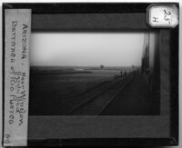
Arizona. Near Winslow. Barranca of Rio Puerco. Sandy bed
The Rio Puerco Barranca near Winslow, Arizona. A barranca is a narrow, winding river gorge and the river can be seen cutting through the flat, barren landscape. Railroad tracks can be seen in the foreground and the image was taken out of the window of a train car. People can be seen standing on the tracks looking out over the landscape. -

Arizona. Over Williams. Mt. San Francisco. Volcanic cone
Streetscape with Mt. San Francisco in the background over Williams, Arizona. Houses and storefronts line the dirt roadway which runs beside two railroad tracks. In the background, Mt. San Francisco and the San Francisco Peaks, a volcanic mountain range in North Central Arizona, rise above the town. Snow covers the tallest peak.
